
Route plan
On the mountain
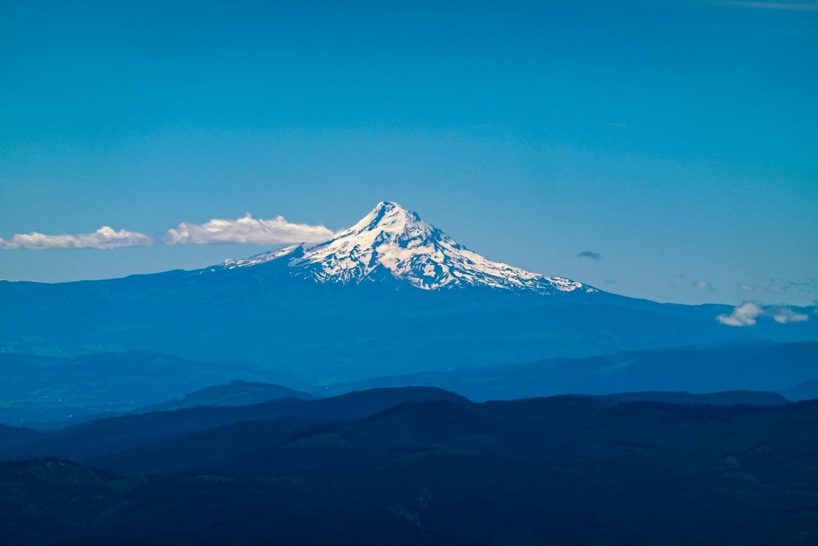
Study the route, the exits, the slope angle, the gear list, the weather history, and the team before stepping onto the mountain.
In the work
We do the same before a client build: map the workflow, dependencies, data quality, decision rights, and failure points before prescribing tools.